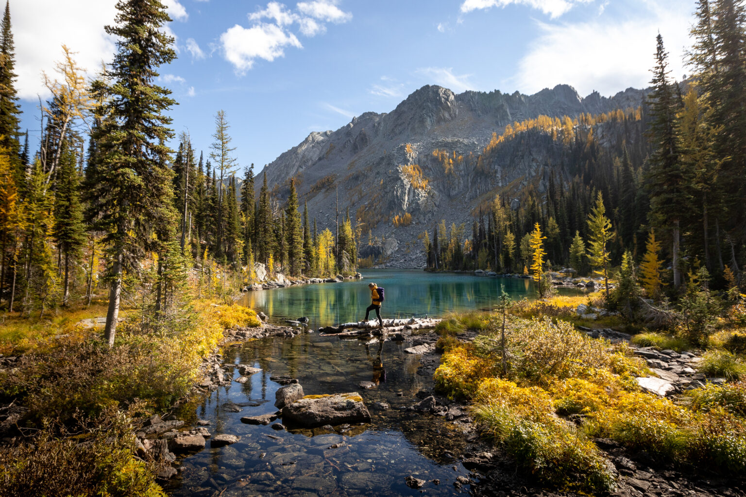
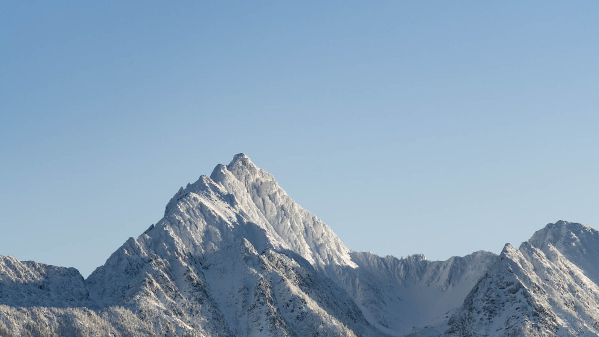
Fisher Peak rises above Cranbrook as the highest summit in the Southern Rocky Mountains, offering a demanding route for experienced hikers looking for a full, challenging day in the alpine.
THE HIKE
The route to Fisher Peak is steep, physical, and unrelenting from the start. The climb gains significant elevation over a relatively short distance, making it as demanding on the descent as it is on the ascent.
After moving through forest, the trail breaks above treeline and crosses rockslides toward a small tarn. From there, a steep scree slope leads to the saddle, where views begin to open and the scramble toward the summit comes into full view.
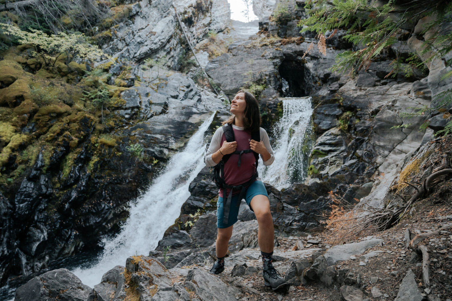
The final half kilometre is unmaintained and requires confident routefinding over exposed rock. This section demands comfort with heights and careful movement.
WHAT TO EXPECT
The hike covers approximately 4.5 kilometres to the summit with an elevation gain of roughly 1,340 metres. Access involves a very rough 10 kilometre four wheel drive road.
Most parties take around four hours to reach the summit from the vehicle and should plan for eight to ten hours round trip to return to the city. The trail is out and back, with no maintained route near the top.
This is a strenuous and technical outing suited only to well prepared hikers with experience on exposed terrain.
GETTING TO THE TRAILHEAD
From Cranbrook, head north on Highway 3 and take Highway 95 toward Fort Steele. Shortly after Fort Steele, turn right onto Wardner Fort Steele Road, cross the Wild Horse River, then turn left onto Mause Creek Road.
Within one kilometre, another Mause Creek Road branches left toward the mountains. Ignore the dead end sign and continue. At the first major intersection, stay left on Boulder Creek Road. At the four way intersection, continue straight and cross the cattle guard.
From here the road becomes very rough with multiple water bars. Follow this road until the trailhead appears on the left. The road continues toward Tanglefoot Lake, so park along either side and do not block access.
KNOW BEFORE YOU GO
The final section of the route is unmaintained and highly exposed. Routefinding skills, comfort with scrambling, and steady navigation are essential. This hike requires preparation, awareness, and respect for changing conditions.