The Bee Line
- Difficulty: Moderate - Difficult
- Elevation Gain: 269m
- Length: 4.0km
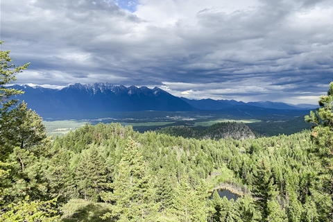
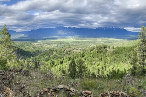
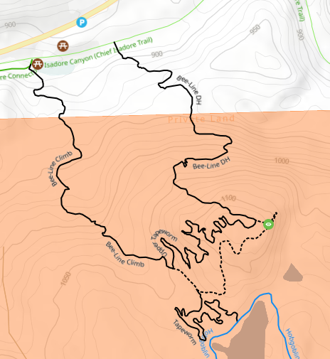
The Bee Line Trail, a 4.0 km loop in the Cranbrook Community Forest, offers a moderate to difficult hike, guiding you through dense forests to one of cranbrook's most rewarding viewpoints. Originally designed for hiking, this trail climbs to a panoramic lookout over the Rocky Mountain Trench, with the Rockies to the east and the Purcells to the west. While the northeastern leg has been modified to accommodate mountain bikers with a challenging downhill section, the trail remains a favourite among hikers. With 269m of elevation gain, it can be a strenuous climb, particularly in steeper sections, but the well-marked path and stunning views make it worthwhile. The trail traverses private land, so hikers are urged to pack out all garbage and respect other users as they explore this beautiful, scenic route.
How to get to the Trailhead
From the Chief Isadore parking lot:
- Start the Chief Isadore Trail parking lot
- Follow the trail for about 3.4 to get to the start of the Bee Line trail
From the Highway 3/95 pullout:
- Travel for about 4km North after leaving Cranbrook until the pullout lot along the highway. Please note that this is not a designated parking lot.
- Follow the trail down the hill that connects to the Chief Isadore Trail. This is where you will find the Bee Line Trailhead.
Trail Etiquette:
Trails connect us, but unlike roads, they lack clear, universal rules for safety and respect. To ensure everyone enjoys the trail, practice the following: treat others with courtesy, respect signage, avoid environmental damage, and stay on the trail. Use common sense, communicate with others, and show courtesy to all trail users. For hikers, stick to existing trails, avoid disturbing wildlife, and step aside for horses. For mountain bikers, yield to others, announce your presence, and avoid trail damage by riding responsibly and staying off wet trails. For more information on responsible trail use visit the Trail BC website.


