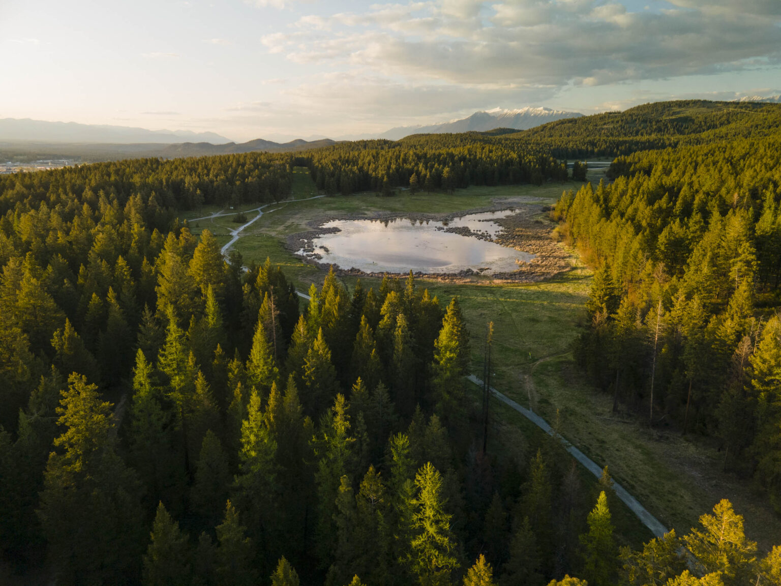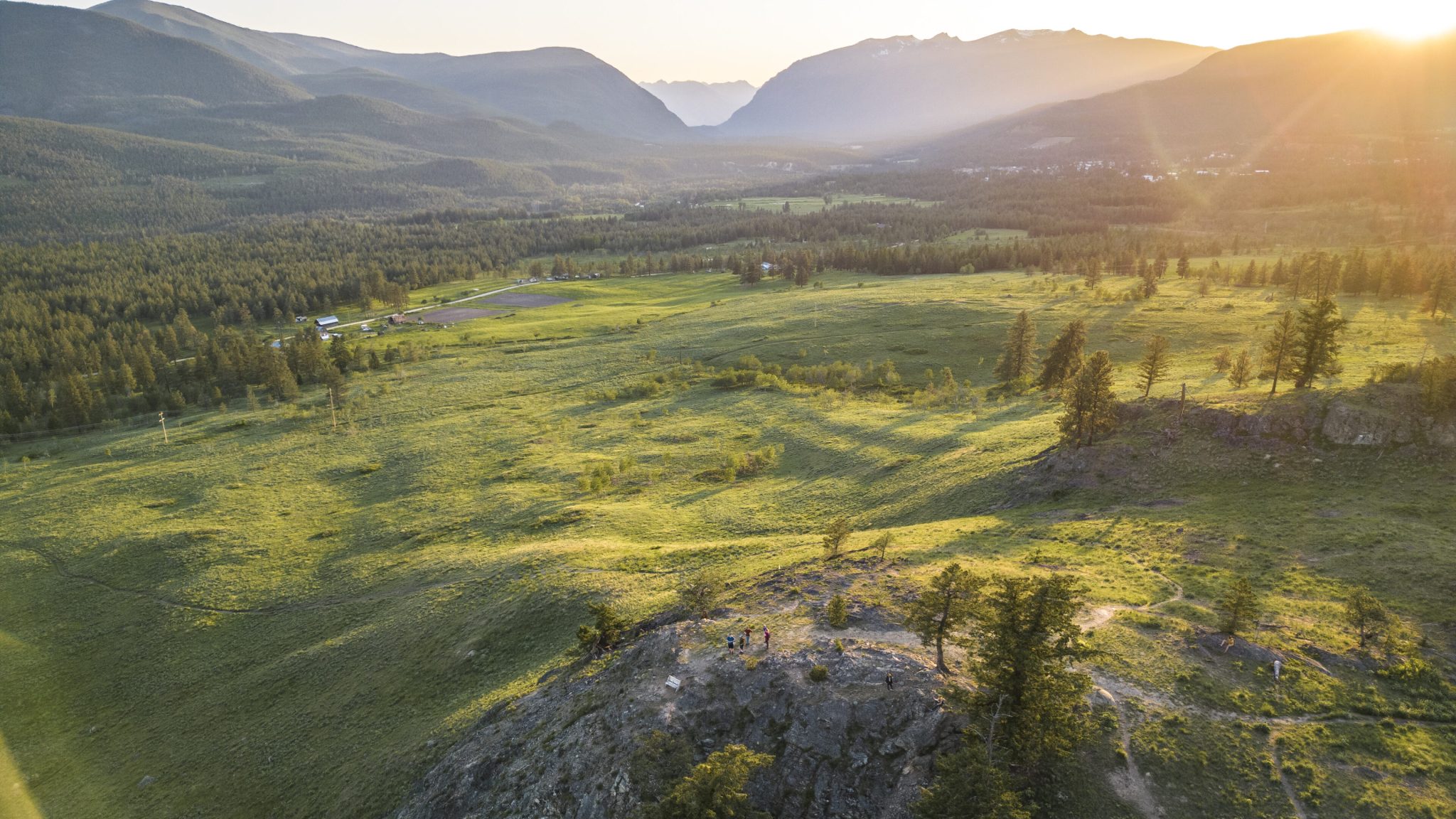
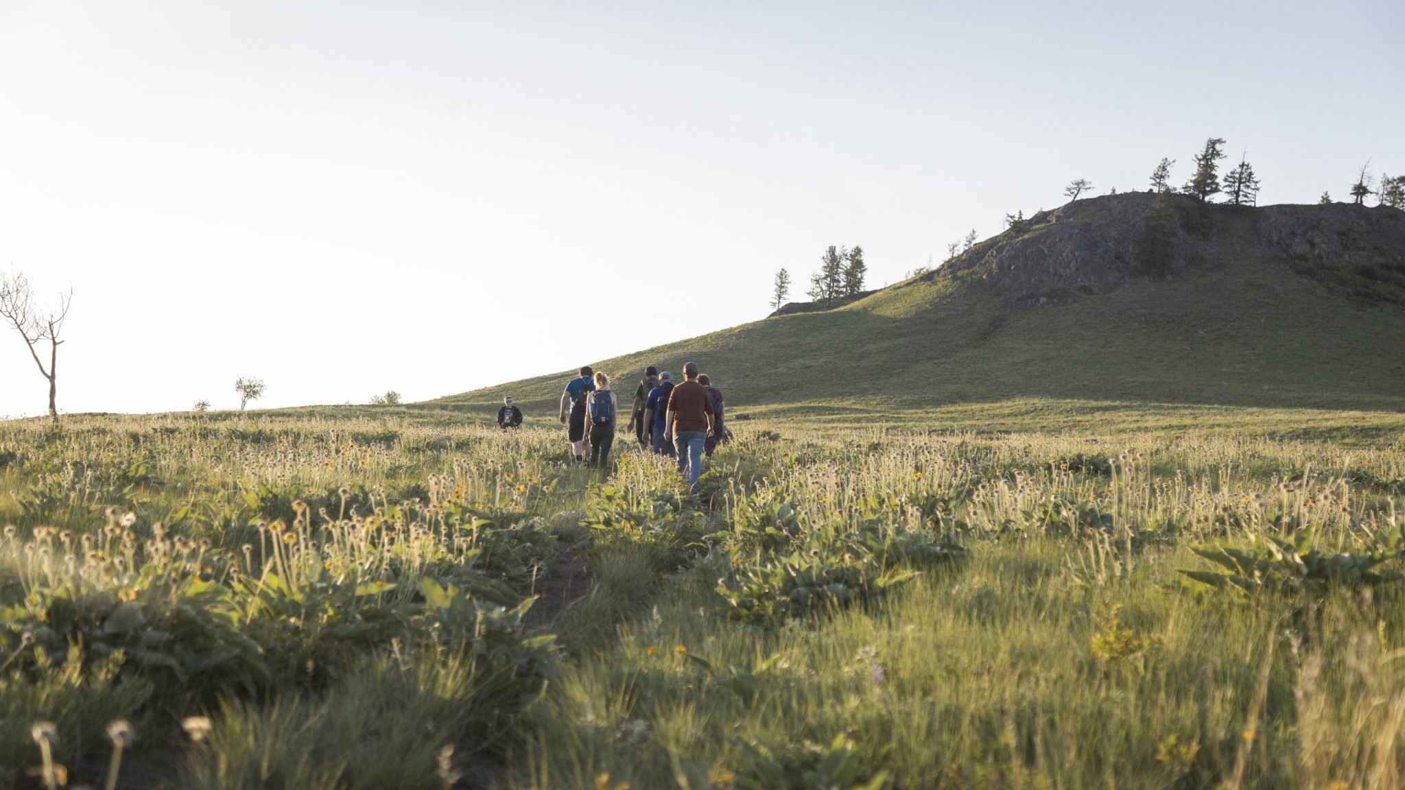
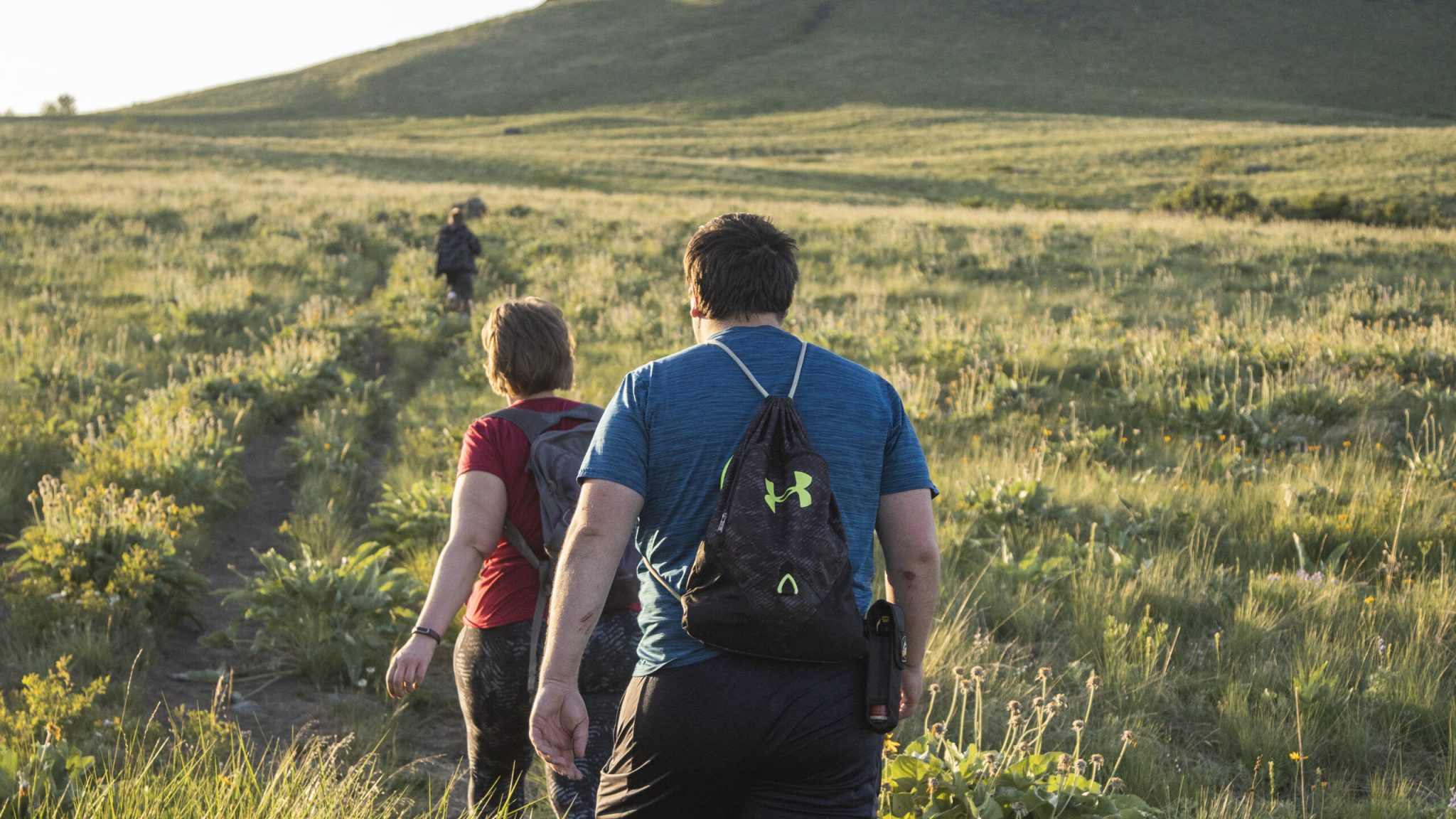
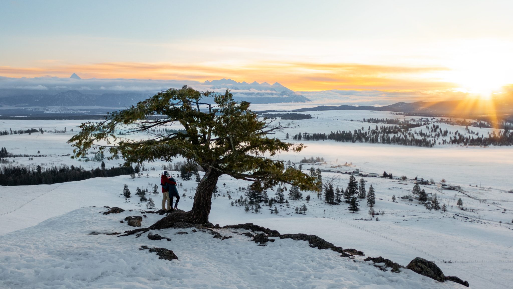
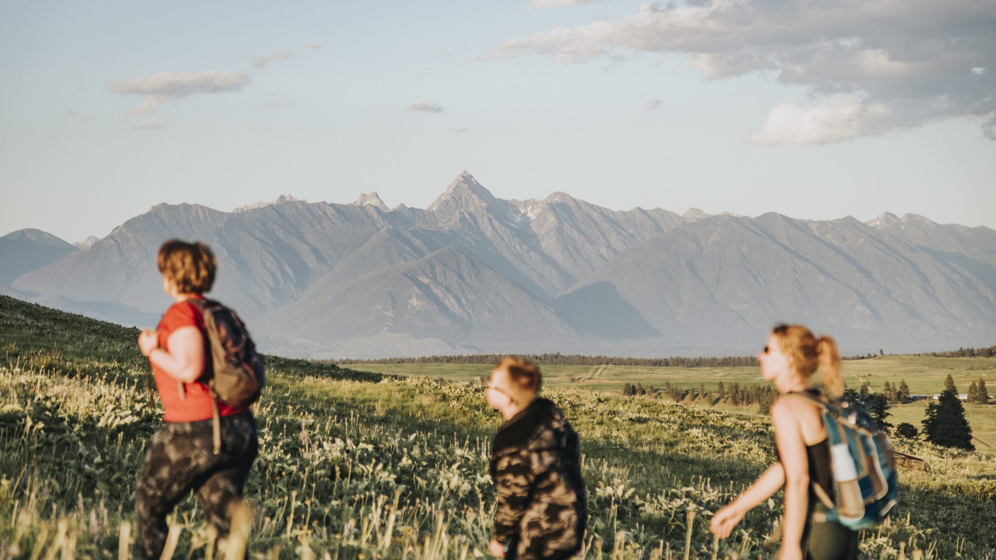
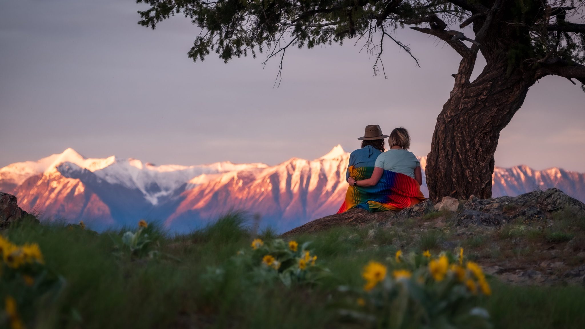
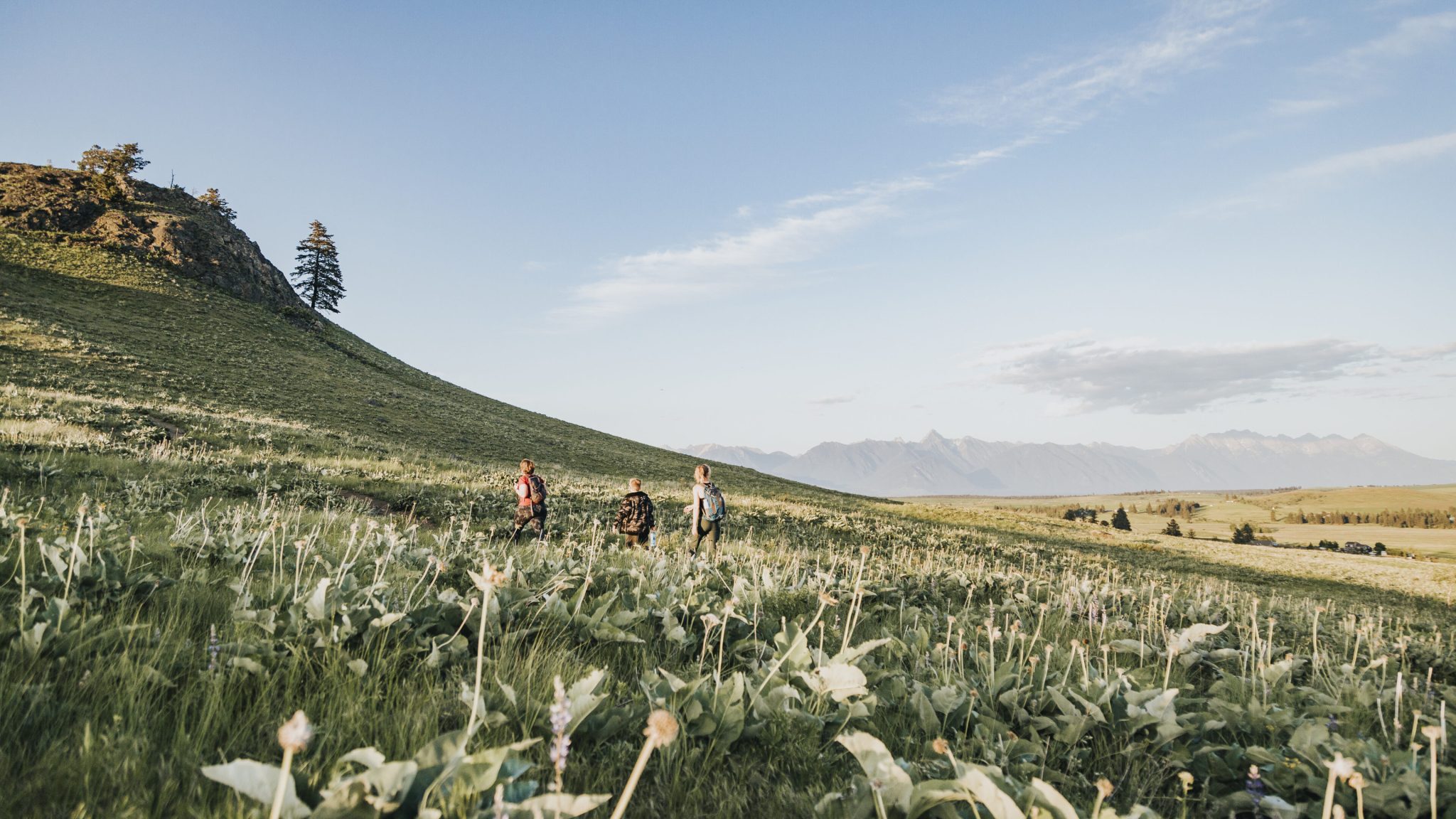
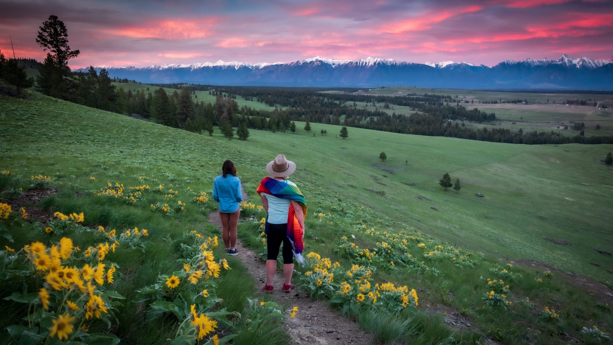
The short and easy hike to the Wycliffe Buttes rewards visitors with a spectacular panoramic view of the Rocky Mountains to the east and the Purcell Range to the west. The well-defined trail climbs gradually to a rocky knoll at approximately 1,070 metres (3,500 ft), making this viewpoint achievable for most visitors, including children. With minimal elevation gain and a gentle grade, this is a popular local outing for a quick nature escape close to Cranbrook.
Wildflowers blanket the grasslands and slopes in late spring, particularly in May and June, creating a colourful and memorable experience. The area also supports a wide variety of birds, butterflies, and other wildlife, offering excellent opportunities for quiet nature observation.
Trail Details
The trail is approximately 2 to 2.4 kilometres out and back, with an elevation gain of roughly 130 to 141 metres. Most visitors complete the hike in 30 to 60 minutes round trip. The final section near the viewpoint is the steepest and rockiest portion, but remains short and manageable for confident hikers.
Travel is permitted on foot, snowshoes, or horseback year-round, with cycling allowed only on designated trails south of Highway 95A. The subtle incline and open terrain make this route suitable for a wide range of abilities.
Land Use and Conservation Importance
The Wycliffe Buttes are located within the Wycliffe Conservation Property Complex, a connected series of protected parcels encompassing over 1,100 hectares of provincial Crown land. This area includes highly valued intact native grasslands, open forest, and riparian habitats, and serves as an essential wildlife corridor supporting rare, sensitive, and at-risk species.
Because of this ecological importance, recreation here is carefully managed to protect habitat integrity and wildlife movement.
Motorized recreation is not permitted.
Off-trail travel in sensitive or protected zones is not allowed.
Respecting these restrictions helps ensure this landscape remains healthy and accessible for future generations.
Dogs and Trail Etiquette
Although dogs are commonly seen enjoying this area, all dogs must be kept on leash at all times. Off-leash dogs can disturb wildlife, damage habitat, and create safety concerns for other trail users. Leashing dogs is essential to protecting the ecological function of this wildlife corridor.
Visitors are asked to remain on designated trails, pack out everything they bring in, and respect signage and surrounding property boundaries.
Inappropriate Activities
The following activities are not permitted within the Wycliffe Wildlife Corridor:
• Motorized recreation including ATVs, dirt bikes, snowmobiles, and e-bikes
• Camping and campfires
• Off-trail travel in protected areas
• Disturbing wildlife or vegetation
These restrictions are in place to prevent erosion, habitat damage, and disruption to wildlife movement.
Access and Parking
There are two designated access points for the Wycliffe Buttes. Visitors should only park in approved locations.
Stirton Road Access
From Highway 95A between Cranbrook and Kimberley, turn onto Stirton Road and drive approximately 400 metres. Limited roadside parking is available on the left. The trail begins across the road, following the powerline corridor.
View Stirton Road parking location
McLure Road Access
From Highway 95A, turn onto Porteous Road. After 1 kilometre, turn west onto McLure Road and continue for 300 metres to the end of the road, where parking is available.
View McLure Road parking location
Please do not block road access or gates when parking.
Trail User’s Code of Ethics
Trails are shared spaces. Courtesy and awareness help ensure a safe and enjoyable experience for everyone.
Treat other users with courtesy
Respect all signage and property boundaries
Avoid environmental damage
Inform yourself about allowed trail uses
Leave wildlife and plants undisturbed
Stay on established trails and avoid trail braiding