Trails
Fisher Peak of the BC Rockies is the prominent summit along the skyline over Cranbrook, motivating hikers and trail seekers into the mountains.
Head for the trails. Start your adventure from Cranbrook as the city is spaced between the two mountain ranges the Rockies and the Purcells.In Top of the World Provincial Park find well-marked trails that traverse alpine meadows and crystal-clear lakes. The Whiteswan Provincial Park contains the natural Lussier Hot Springs for a soak after your hike.
The Mause Creek Tarn is one of Cranbrook’s most popular hikes. Reward yourself after the hike with ice cream in Fort Steele Resort and RV Park. The best part? The trails are closer than you think.
The many parks that dot the city of Cranbrook make it easy for locals and visitors to get out for a walk and breathe in fresh mountain air any time of year.
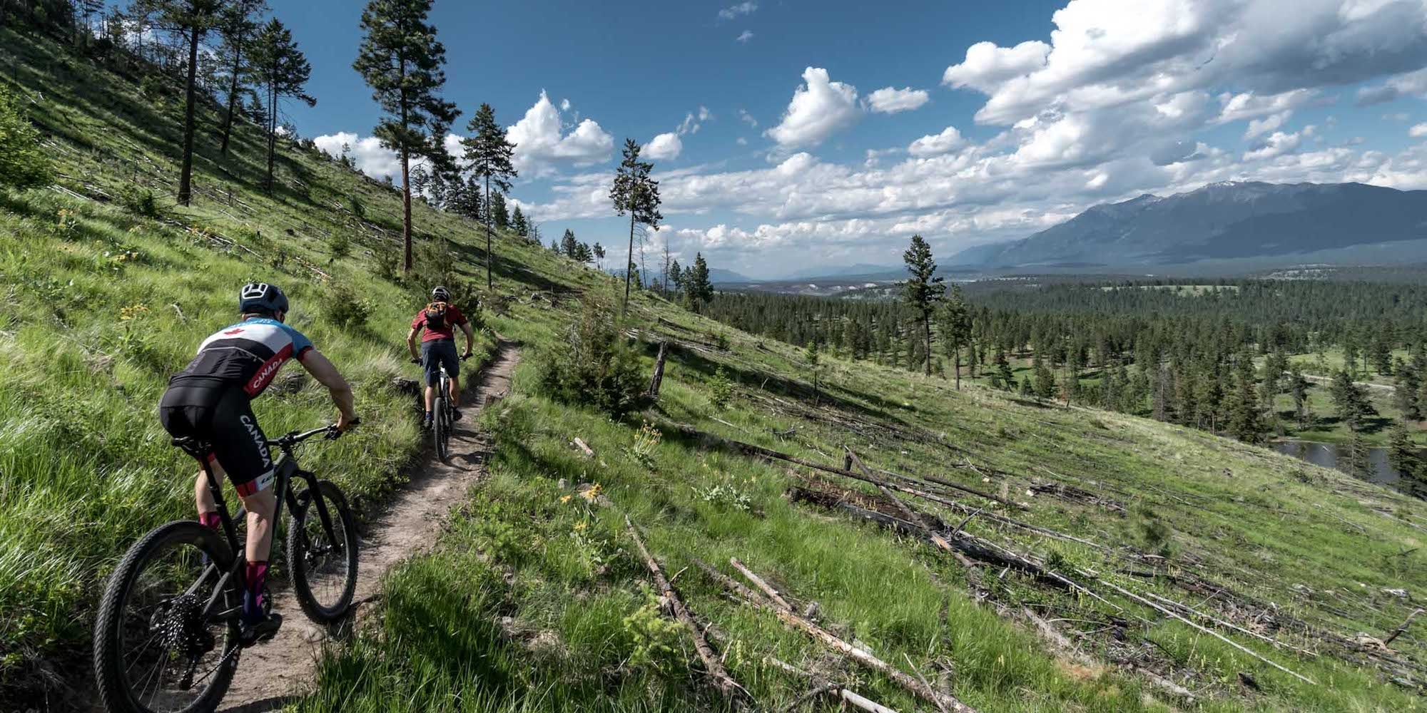
Walking trails meander along the shoreline of the wetlands at Elizabeth Lake in Cranbrook’s Confederation Park. Stroll the easy paths while looking at the dozens of bird species. The Cranbrook Community Forest is crisscrossed with kilometres of hiking and biking trails that weave between forest, grassland and three small lakes.
Top Tip! Janice Strong has been a long-time guidebook author to the area. Her 4th Edition of the book Mountain Footsteps Hikes in the East Kootenay of Southeastern British Columbia is published by Rocky Mountain Books. It was just released in April 2018 and it was the BC Bestsellers List. Mountain Footsteps has all the latest on hiking in the southeastern part of BC.